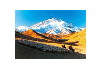
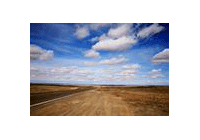
North China Plain is an important part
of the big plain in eastern China. Also known as Huanghuahai Plain, it has an area
of about 310,000 square km, being the second largest plain in China.
North China Plain had a flat terrain. There are many rivers and lakes, among which
Yellow River, Huaihe River and Haihe River are the major ones. The transportation
is convenient and the economy is well developed. The plain has been Center of Chinese
political, economic, and cultural since ancient times. Now Beijing, is in the north
of the plain. Many important cities are also located here.
In the past, many places in North China Plain suffered from floods and drought.
As the saying goes, "a big disaster occurs when it rains hard, a small disaster
arises when it drizzle, and drought comes when there is no rain". In recent decades,
Chinese government has been developing water conservancy projects and has built
up a comprehensive system to deal with floods and drought. These measures have greatly
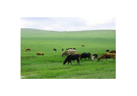
changed the situation in the past, and now the area has become a famous grain and
cotton producing area.
Do you know?
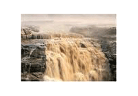
North China Plain is a typical alluvial plain which is formed by large amount of
mud and sand brought down by Yellow River, Huaihe River and Haihe River.
Previous Next